Exercise 2: Data mining and data integration#
Assignment deliverables and formatting
Deliverables
Throughout this page you will find several Task blocks. Copy these into a text document (Word or otherwise), provide them with a header (e.g., Task 1 for first task, etc.), and answer the questions. Take screenshots of your results to document your progress. When done, upload the compiled file to your personal Teams folder.
Formatting
The filename should be formatted as:
Exercise-2_{first-name}-{surname}.{extension}
Herein the curly brackets and text between them are variables, in this case first and surnames.
Deadline
TBD each year.
Data mining#
Main learning objectives
By doing this exercise, you are expected to learn:
Familiarize yourself with the Svalbox database and multiple online resources available in Svalbard
Search within the available data sets and resources presented in AG222 Compendium - Data mining in an efficient and accurate manner
Using Svalbox Interactive Map#
The Svalbox Map is a UNIS-developed geoscience integration portal designed to provide an interactive interface to discover Svalbard’s geology.
Amongst the multiple datasets available, it highlights the Digital Outcrop Model (DOM) database, with a search functionality based on different parameters.
Task 1.1
Use the search functionality to answer the following questions:
How many DOMs were collected in 2021, 2022 and 2023?
In how many islands of the Svalbard archipelago have DOMs been acquired?
How many DOMs are located in Ny-Friesland? And in Nordenskiöld Land?
How many DOMs cover the Van Mijenfjorden Group?
Another useful resource available as part of the Svalbox interactive map is the measuring tools.
Task 1.2
Use the measuring tools to answer the following questions:
What is the distance between Vassdalen II borehole and Ishøgda I borehole? Hint - use Toposvalbard to help you locate these places.
What is the approximate area (in km2) covered by the photo spheres taken in Wallenbergfjellet?
What geological formations did the seismic line from STATOIL NH9108 -connecting Vassdalen II borehole and Reindalspasset I exploration well- cross? Which way is stratigraphically younger?
Using Toposvalbard#
Toposvalbard is one of the most common and best online resources when it comes to geospatial datasets in Svalbard. Amongst other functionalities, it has search function, where you can search places by name.
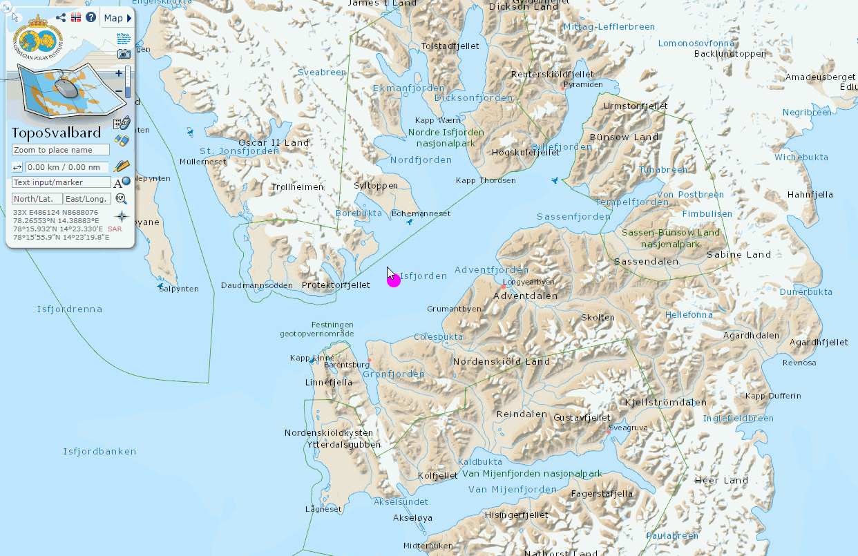
Fig. 5 Showing how to search localities by name using Toposvalbard.#
Task 2.1
Find and highlight the following locations:
Locations A: Festningen, Ebbadalen, Konusdalen, Agardhbukta, Kvalpynten, Farmhamna, Kapp Thordsen, Svea, Verlegenhuken, Sørkapp, Botneheia, Pyramiden.
Locations B: Vassdalen, Blåhuken, Kvadehuken, Plurdalen, Raddedalen, Hopen, Tromsøbreen, Colesbukta, Berzeliusdalen, Grønnfjorden, Reindalspasset, Kapp Laila, Sarstangen, Petuniabukta, Adventdalen, Sysselmannbreen.
On Toposvalbard, there are some very good old oblique area photographs. These can be used for planning field campaigns, and even to make digital models. You can access them by first selecting the satellite base map, then marking on Old aerial photographs, and clicking the arrows.
Fig. 7 Showing how to activate and search an old aerial photo from Toposvalbard.#
Task 2.3
Navigate to your field area, and include an overview of what images are available, and their overall quality.
Take screenshots of a selection of 15 good quality partly overlapping images and save for future photogrammetry project.
Using Svalbardkartet#
Using SvalbardKartet answer the following questions.
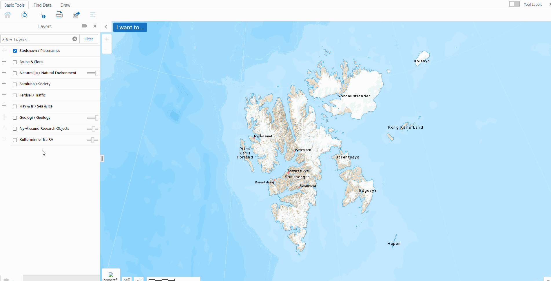
Fig. 8 Showing how to select the outcropping areas of a geological unit in Svalbardkartet.#
Task 3.1
What are the units exposed between Kapp Starostin and Festiningsodden? What is their thickness? Which way is stratigraphically younger?
Task 3.2
List and highlight at least five locations where you could look at the following formations.
Wilhelmøya Subgroup
Kapp Starostin Formation
Diabasodden Suite
Helvetiafjellet Formation
Ebbadalen Formation
Task 3.3
Draw a line along the Permian-Triassic boundary and export your map as a geoTiff.
Using ResearchInSvalbard#
The ResearchInSvalbard -RiS for short- database, is a valuable resource for discovering ongoing and completed research projects in Svalbard. Though it does have some issues, such as containing projects that were never executed, it is still a helpful tool for gaining an overview of the research landscape and avoiding duplicative work. Additionally, the database can aid in coordinating logistics between different research teams.
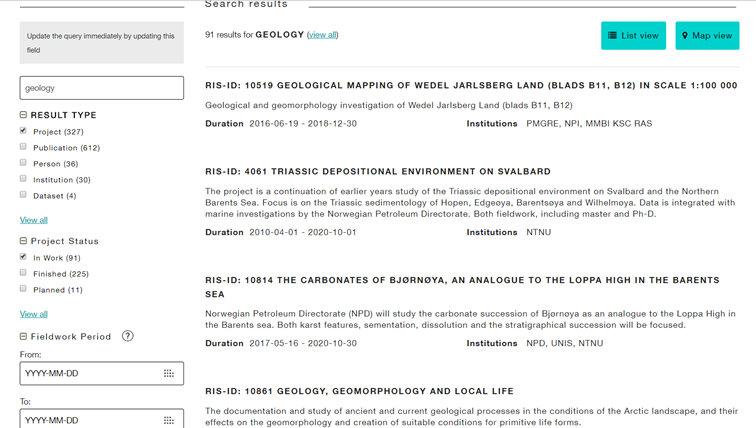
Fig. 9 Example of a project search in the ResearchInSvalbard database.#
Task 4
Visit ResearchInSvalbard to explore the database and complete the following tasks:
Where have geologists worked on Svalbard in the summer of 2019?
What about from 2005 to 2015?
What was the objective of the fieldwork?
What methods did they use?
Did they publish any results?
From which country/institute did they come?
List ca. 10 different campaigns in an appropriate table.
Using Norwegian Petroleum Directorate FactMaps#
The Norwegian Continental Shelf is one of the most data-rich areas in the world due to petroleum exploration activities. It is home to thousands of exploration wells and millions of kilometres of 2D and 3D seismic surveys. This abundance of data provides a valuable resource for geoscientific research and also serves as a framework for offshore CO2 storage. Sleipner has been storing CO2 since 1996, while Snøhvit has been doing so since 2008, and Aurora has started the Longship project recently.
All the data is owned by the companies that collect it, but it becomes public after a specific time period. Raw well logs become public after two years, seismic data after five years, and interpretations, reports, etc., after twenty years. The Norwegian Petroleum Directorate (NPD) manages this vast data set and also offers useful FactPages and FactMaps that anyone can consult.
However, there is a downside. Although Svalbard is geologically a part of the Barents Shelf, it is not so politically. As a result, the exploration data for Svalbard is not readily available. If you’re interested, check out the historical perspective on Petroleum, coal, and research drilling onshore Svalbard.
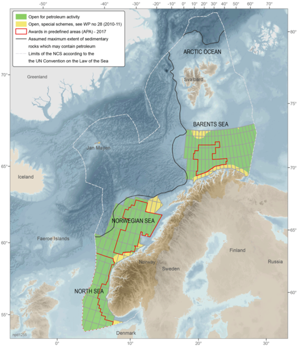
Fig. 10 NPD FactMap from the Norwegian coast and Svalbard.#
Task 5
Use the NPD FactMaps to address the following tasks:
Where are the exploration wells?
What is the northernmost well?
When was the last exploration well drilled?
Which areas are currently licensed by oil companies?
Which areas are licensed on the Russian side of the border? Hint: - see http://wwfarcticmaps.org/
What are the main geological elements?
What is the age of the structures?
Using Article Search and Methods#
When it comes to science, the goal is not to start from scratch but to build upon existing knowledge by contributing new insights. This means that it’s important to have a good understanding of the current state of the field, and to reference previous work effectively. UNIS has a license for EndNote reference manager, which we will use in the course. This tool makes it easy to automatically import and archive references with their associated PDFs.
However, there are many other free and open access softwares for reference management and bibliography creation, such as Mendeley or Zotero.
Task 6
Search for 5 relevant articles each using Google Scholar.
Load these into your EndNote library and include the .pdf file.
Each group to deliver a document including EndNote library of 20 articles and 3 corresponding word document with the bibliographic style of Geology, Earth-Science Reviews and Nature.
Focus on the data and methods of each paper.
What have the researchers been doing?
Could you reproduce their research?
What is done well, and what could be improved in the articles?
Using SvalSIM - The Svalbard Geosimulator#
SvalSIM is a GeoSimulator last updated in 2009 developed by Equinor as part of their inter-disciplinary Svalex student expeditions ran around Svalbard.
Task 7
Is there any data available for your area?
Take screenshots of relevant views of your study site.
Consider using SvalSIM to “film” your journey from Longyearbyen to your field area.
Resources#
You can refer to the Svalbox CookBook and the G222 Compendium - Data mining portal for a step-by-step explanation on how to fulfill the tasks and learning objectives.
Too much information? Don’t worry, follow the tasks at your own pace. Moreover, we will, at regular intervals, pause and get a student to present (by sharing their screen and clicking the right buttons) how the task was achieved and what the results are to that point.
Arctic Field Grant#
The first step for any research project is securing the necessary funding to acquire data on the field.
To do research in Svalbard, the Research Council of Norway provides Arctic Field Grants. These grants are available for master’s students, PhD candidates, and researchers affiliated with Norwegian research organizations can receive funding for their field activities. The primary objective of these grants is to promote early career development in polar sciences and support the activities of students and researchers in this field.
Like anything else, the best way to succeed in a funding application is through practice and experience. Based on the location you explored in the previous tasks, write a fictive Arctic Field Grant application.
Task
Write a fictive Arctic Field Grant application. It has to include:
Introduction and Geological Background
Aim and research area
Field work and proposed methods
Outcome (expected results and deliverables)
References
Citations!
Always cite the authorship of the data you are using!
Main learning objectives
By doing this exercise, you are expected to learn:
Write a funding application
Design a research approach
Perform data mining and literature review for your research project
Use a reference manager software for your citations
Resources#
You can refer to the Data mining and data integration module to find useful online resources for writing the application.The EndNote tutorial provides some useful tips on how to accomplish learning objective 4.